Circuit 7 blue - Le Mont Piquant
Add to my favorites

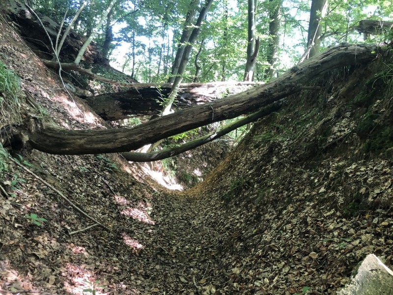
Prudence : des arbres sont présents en travers du sentier au km 15 mais n'entravent pas le parcours.
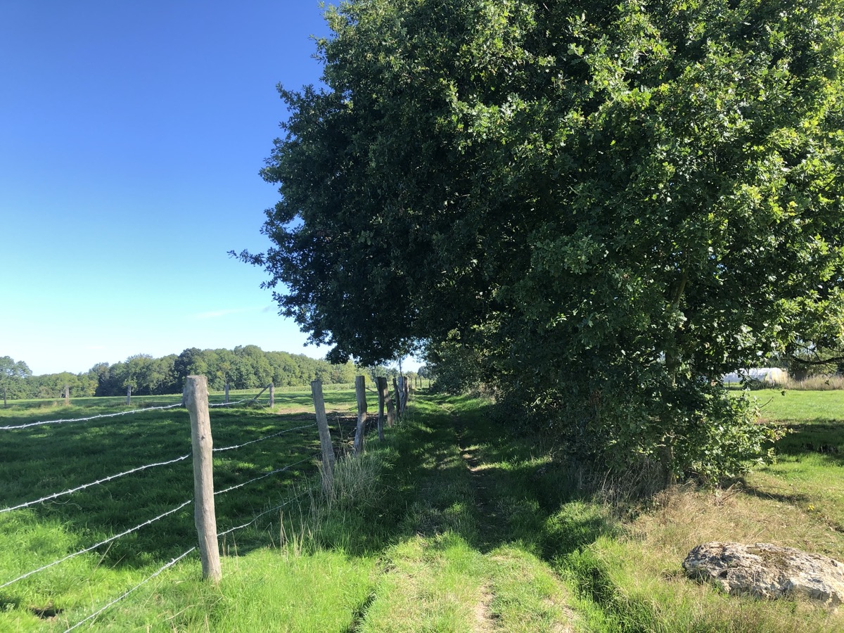
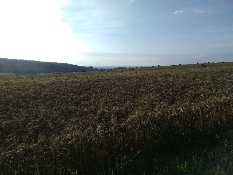
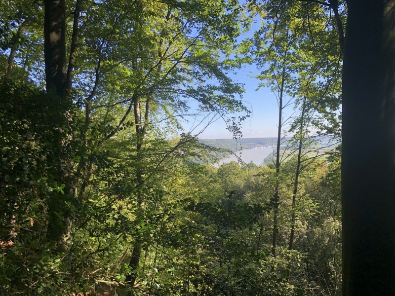
Ce parcours bleu possède le profil le moins accidenté des différentes boucles au départ de Villequier. Après une première montée, vous aurez à parcourir 14km assez roulants entre plaine et forêt. Il vous faudra garder un peu d'énergie pour la montée raide sous le château de Villequier avant de redescendre jusqu'au village à votre point de départ.
The characteristics of the route.

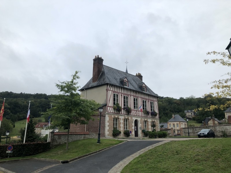
Villequier (76)
- Distance 18.43 km
- Elevation gain 351 m
- Elevation lost 351 m
- Min. elevation 1 m
- Max. elevation. 141 m
- Duration (depending on pace) 1h50 à 3h40
- Marking N°7 blue
The last times
JeanneTLC
finished in 01:52:00
The 2022/11/12
En savoir plus
Loicdespres76
finished in 01:39:17
The 2022/04/19
En savoir plus
Nikola4501
finished in 02:03:12
The 2021/10/24
En savoir plus
Teuteuf
finished in 01:55:00
The 2021/08/17
En savoir plus
Mimie76
The 2023/12/30
En savoir plus
Voir tous les chronos
2022/11/12 01:52:00
JeanneTLC
JeanneTLC
2022/04/19 01:39:17
Loicdespres76
Loicdespres76
Parcours sympa , assez roulant. Bien fléché et propre
2021/10/24 02:03:12
Nikola4501
Nikola4501
2023/12/30 Mimie76
Fait en randonnée ce jour. Parcours très sympathique entre forêt et plaine avec un dénivelé sympa
2022/01/02 Nikola4501
Beau parcours entre bois et champs..!
2021/08/17 Teuteuf
Super parcour bien roulant pour se mettre en jambe
Services nearby

White House
RIVES-EN-SEINE

Magnolia - Lieu de Convivialité
RIVES-EN-SEINE
La Maison Plûme
RIVES-EN-SEINE
Gîte Villequier - Le 1882
RIVES-EN-SEINE
Chambre d'hôtes à Villequier - L'Antre
RIVES-EN-SEINE


Follow us on
the digital trails
the digital trails


![]()
Infos & contacts
Caux Seine Normandie Tourist Office
Abbaye du Valasse 76210 Gruchet-le-Valasse
+33(0)2.32.70.46.32
Website
send mail


OK
Annuler