Circuit 8 red - La Barre y Va
Add to my favorites

Between October and March, before leaving for the forest, remember to consult the hunting calendars on the site www.onf.fr

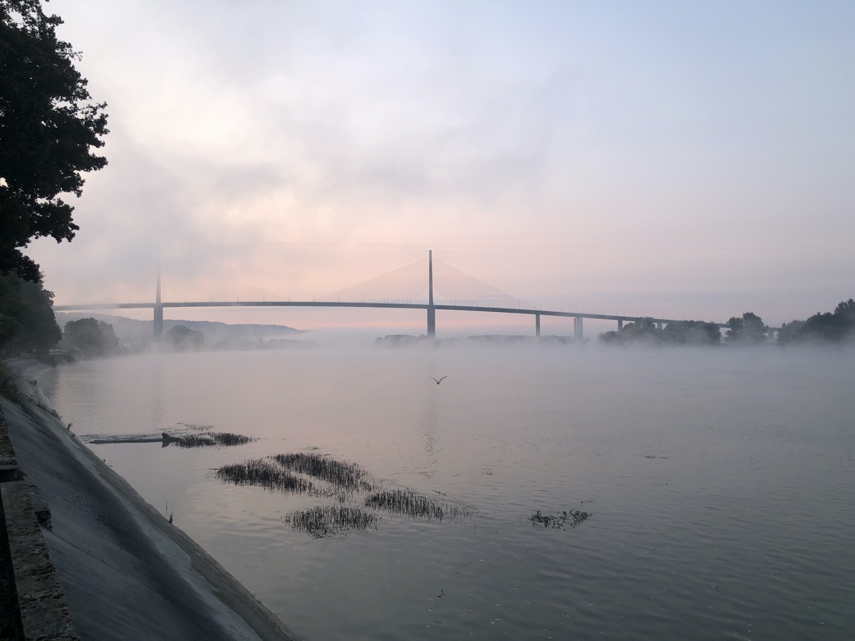
Après 1 km d'échauffement le long de la Seine, vous prendrez rapidement de la hauteur au départ de cette boucle rouge pour vous élever au-dessus de Villequier. Vous rejoindrez plus loin Caudebec-en-Caux avec un joli point de vue sur le Pont de Brottonne. C'est ensuite une succession de montées et descentes qui vous attend dans la forêt domaniale du Trait-Maulévrier avec quelques replats qui vous permettront d'allonger la foulée. Vous traverserez les villages de Ste-Gertrude et St-Arnoult pour rejoindre Villequier en bord de Seine.
The characteristics of the route.

Villequier (76)
- Distance 28.26 km
- Elevation gain 788 m
- Elevation lost 788 m
- Min. elevation 0 m
- Max. elevation. 141 m
- Duration (depending on pace) 3h à 6h
- Marking N°8 red
The last times
FuneralJB
finished in 03:30:25
The 2023/07/22
En savoir plus
Loicdespres76
finished in 02:44:00
The 2022/04/27
En savoir plus
YoyoKeums
finished in 02:24:48
The 2022/03/20
En savoir plus
Matt3386
finished in 02:36:00
The 2021/11/14
En savoir plus
Matt3386
finished in 02:46:00
The 2021/10/31
En savoir plus
Voir tous les chronos
Services nearby

White House
RIVES-EN-SEINE

Magnolia - Lieu de Convivialité
RIVES-EN-SEINE

La Maison Plûme
RIVES-EN-SEINE

Gîte Villequier - Le 1882
RIVES-EN-SEINE

Chambre d'hôtes à Villequier - L'Antre
RIVES-EN-SEINE
OK
Annuler


