Circuit 9 black - Rétival
Add to my favorites

Between October and March, before leaving for the forest, remember to consult the hunting calendars on the site www.onf.fr

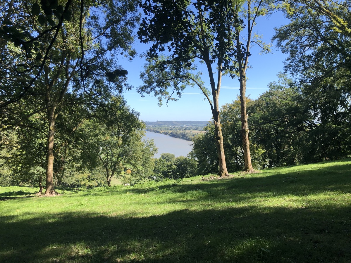
Ce parcours se déroule en grande partie en forêt et vous propose une alternance de montées et de descentes entre 0 et 140m d'altitude. N’hésitez pas à trottiner au bord de la Seine pour vous échauffer, car la boucle commence fort en montée pour s'élever au-dessus de Villequier. Vous traverserez alors la hêtraie de Barre-y-va et vous profiterez d'un joli point de vue sur le Pont de Brotonne en descendant sur Caudebec-en-Caux. Vous rejoindrez ensuite la forêt domaniale du Trait-Maulévrier et ses belles futaies et traverserez les villages de Ste-Gertrude et St-Arnoult. Cette boucle noire avec de nombreuses relances conviendra aux trailers expérimentés souhaitant effectuer une sortie longue.
The characteristics of the route.

Villequier ()
- Distance 39.6 km
- Elevation gain 1380 m
- Elevation lost 1380 m
- Min. elevation 0 m
- Max. elevation. 141 m
- Duration (depending on pace) 4h à 8h
- Marking N°9 Black
The last times
RenaudLamb
finished in 04:13:00
The 2023/04/02
En savoir plus
Francky76170
finished in 05:08:00
The 2022/06/04
En savoir plus
Francky76170
The 2022/06/06
En savoir plus
Jonathan_Dono
The 2022/08/11
En savoir plus
Voir tous les chronos
Services nearby

White House
RIVES-EN-SEINE

Magnolia - Lieu de Convivialité
RIVES-EN-SEINE

La Maison Plûme
RIVES-EN-SEINE

Gîte Villequier - Le 1882
RIVES-EN-SEINE

Chambre d'hôtes à Villequier - L'Antre
RIVES-EN-SEINE
OK
Annuler


