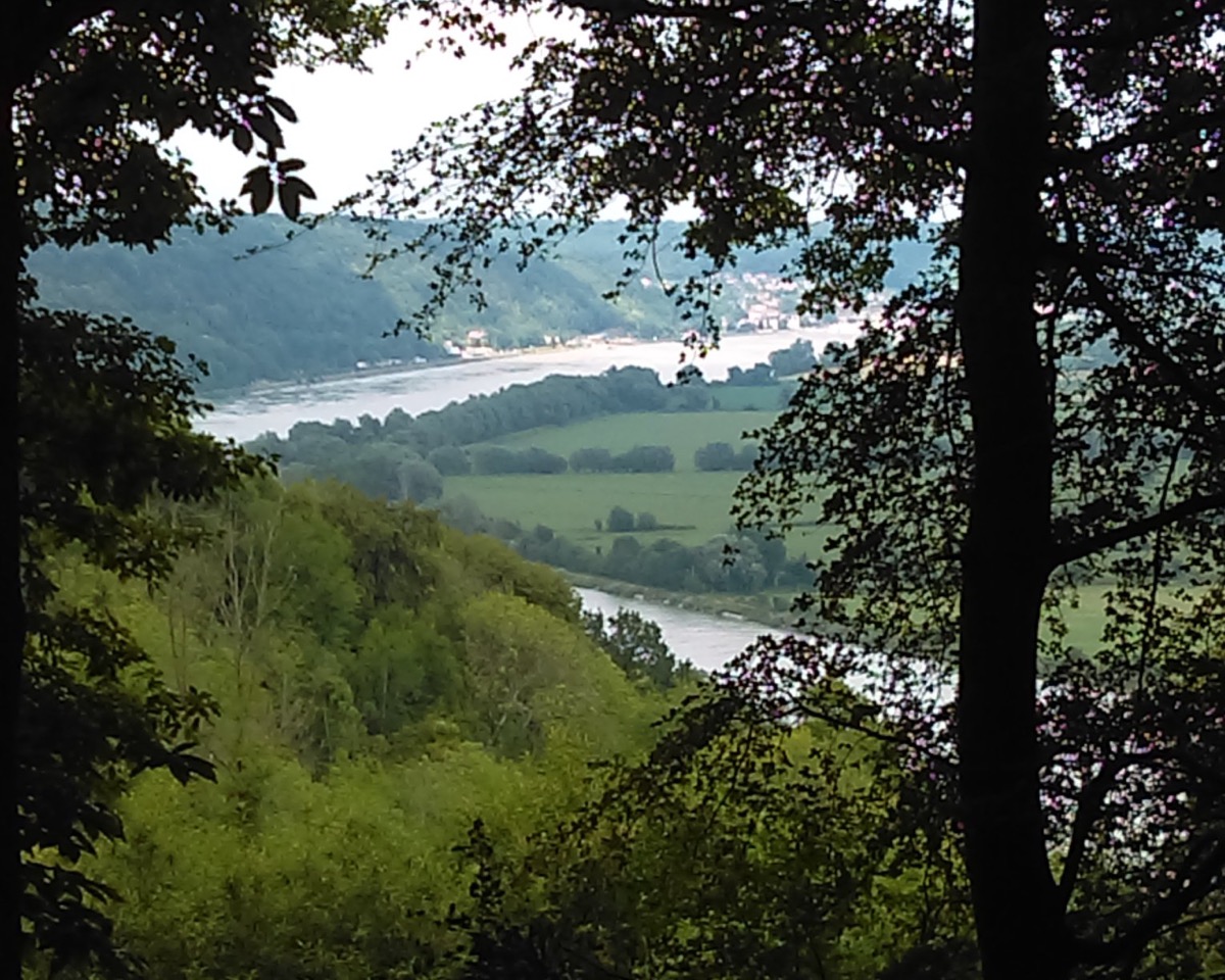
Aux Sources du Bebec
Add to my favorites


Vous partirez de l’église de Bébec (ne manquez pas de découvrir ses graffitis marins). Cette église a été édifiée au XVIème siècle au pied du ruisseau auquel elle doit son nom. Découvrez de magnifiques panoramas tant sur la Seine que sur la campagne cauchoise.
The characteristics of the route.

Villequier (76)
- Distance 11.8 km
- Elevation gain 170 m
- Elevation lost 170 m
- Min. elevation 59 m
- Max. elevation. 141 m
- Duration (depending on pace) 3h15
- Marking Vert Forêt
Bouquets
finished in 03:15:00
The 2021/08/01
En savoir plus
Cricri76
The 2021/11/17
En savoir plus
Ajouter votre chrono et partager vos sensations
Services nearby

L'Aube Normande
RIVES-EN-SEINE

Le P'tit Clos Normand
RIVES-EN-SEINE

Le Petit Gîte d'Angélique
NORVILLE

Gîte La Fleur de Seine
RIVES-EN-SEINE

Maison du Passeur
RIVES-EN-SEINE
OK
Annuler


