Sur la Route de l’Ouraille
Add to my favorites

Between October and March, before leaving for the forest, remember to consult the hunting calendars on the site www.onf.fr

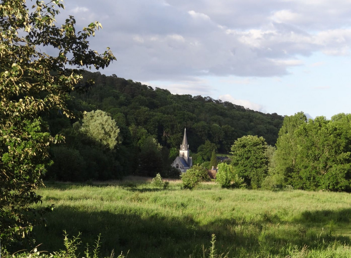
Perchés sur les rebords du Pays de Caux, à l’ombre de la forêt du Trait-Maulévrier, vous découvriez des paysages exceptionnels ! La balade se poursuit à la rencontre de charmants petits villages, où une pause pique-nique semble tout à fait convenir.
Une aire d'attache pour chevaux est installée au départ de la boucle.
The characteristics of the route.

Maulévrier-Sainte-Gertrude (76)
- Distance 33.1 km
- Elevation gain 760 m
- Elevation lost 760 m
- Min. elevation 17 m
- Max. elevation. 150 m
- Duration (depending on pace) 4h45
- Marking Orange
AbiRz76
The 2023/05/22
En savoir plus
Ajouter votre chrono et partager vos sensations
Services nearby

Aire des Vaux

Gîte Forestier
MAULEVRIER-SAINTE-GERTRUDE

Au Rendez-Vous des Chasseurs
MAULEVRIER-SAINTE-GERTRUDE

La Bergerie 1
SAINT-ARNOULT

Les Galets
SAINT-ARNOULT
OK
Annuler


