Caudebec-en-Caux
Add to my favorites

Between October and March, before leaving for the forest, remember to consult the hunting calendars on the site www.onf.fr
Route closed
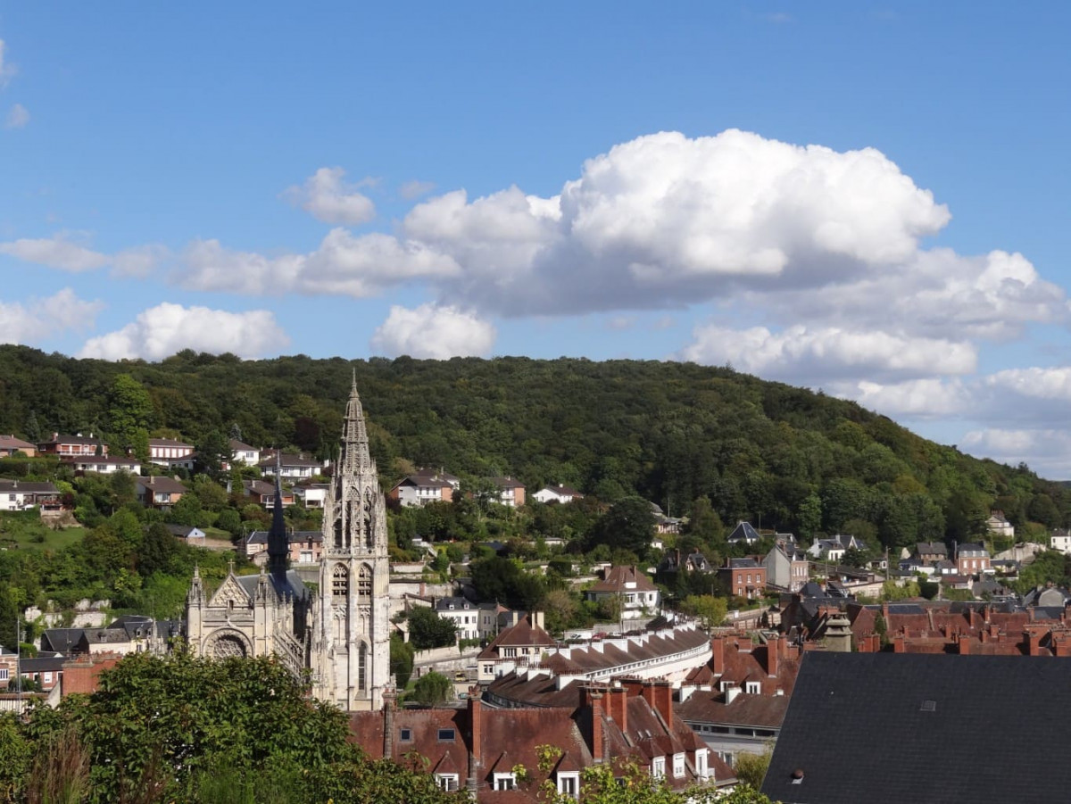
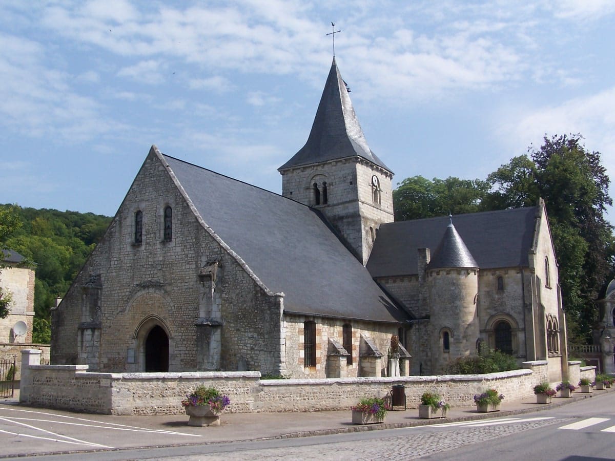
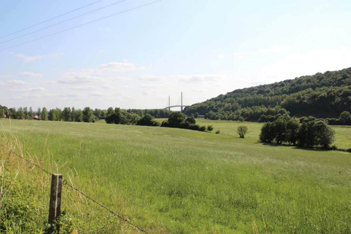
It's a great way to take in the countryside and the forest, to the delight of seasoned mountain bikers.
The characteristics of the route.
Caudebec-en-Caux (76)
- Distance 46.4 km
- Elevation gain 970 m
- Elevation lost 970 m
- Min. elevation 3 m
- Max. elevation. 150 m
- Duration (depending on pace) 5h
RomainGlory76
The 2026/05/24
En savoir plus
Ajouter votre chrono et partager vos sensations
2026/05/24 RomainGlory76
2026/05/24 RomainGlory76
Services nearby

Brasserie du bac
RIVES-EN-SEINE
Brasserie des deux rives
RIVES-EN-SEINE
Le Clandestin by La boucherie du Quai
RIVES-EN-SEINE

Pause en Seine
RIVES-EN-SEINE

Maison Legout
RIVES-EN-SEINE


Follow us on
the digital trails
the digital trails


![]()
Infos & contacts
Caux Seine Normandie Tourist Office
Abbaye du Valasse 76210 Gruchet-le-Valasse
+33(0)2.32.70.46.32
Website
send mail
 Seine de Trail - Parcours - Caudebec-en-Caux
Hello, world! This is a toast message.
Seine de Trail - Parcours - Caudebec-en-Caux
Hello, world! This is a toast message.
Seine de Trail - Parcours - Caudebec-en-Caux
Hello, world! This is a toast message.


OK
Annuler