Saint-Jean-de-Folleville
Add to my favorites


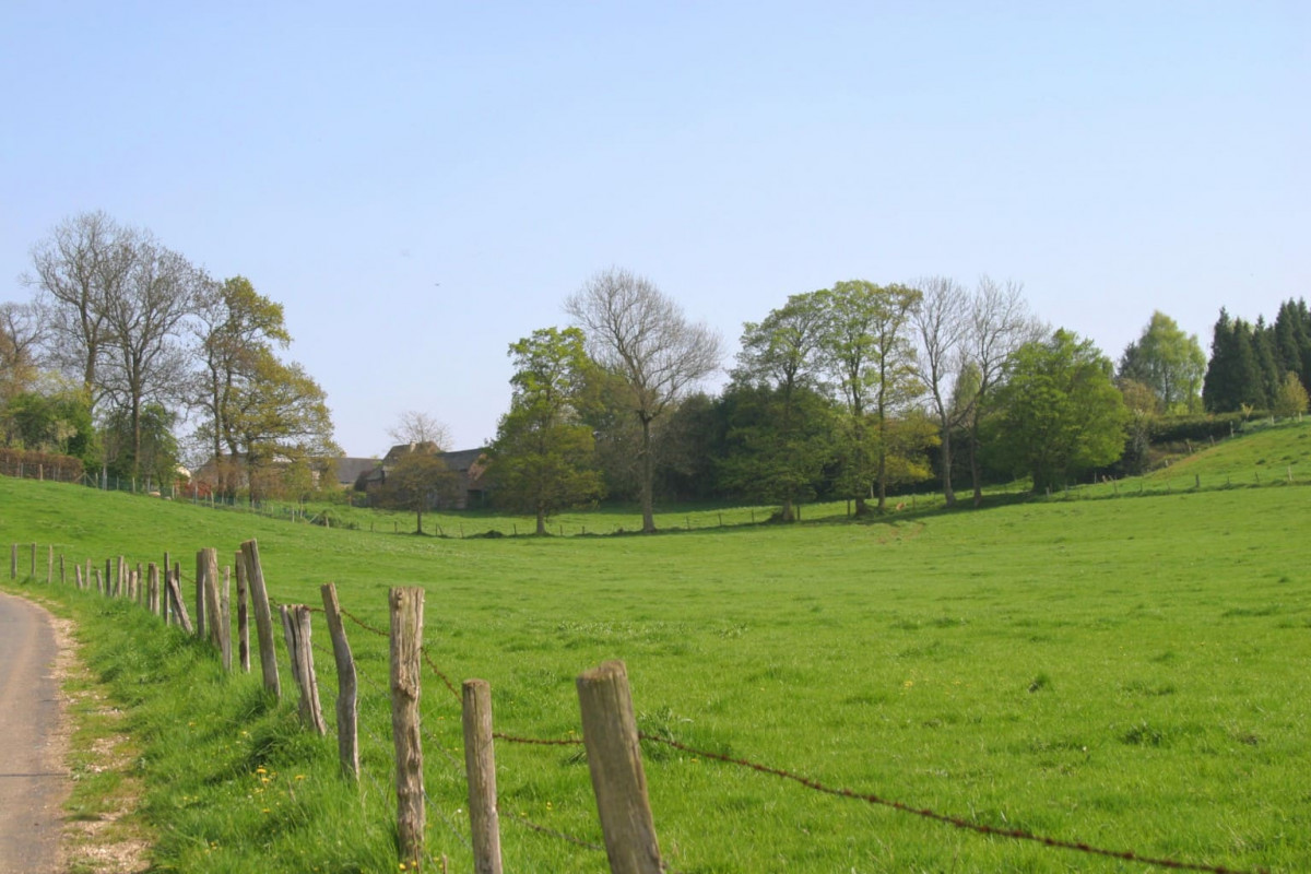
Ce circuit vous emmènera par monts et par vaux, à travers champs et forêts. De la plaine, vous pourrez admirer la vue exceptionnelle sur l’estuaire de la Seine et même jusqu’au Marais Vernier ! Ressourcez-vous dans les jardins de l’Abbaye du Valasse, avant de remonter sur les plateaux.
The characteristics of the route.

Saint-Jean-de-Folleville (76)
- Distance 22.6 km
- Elevation gain 420 m
- Elevation lost 420 m
- Min. elevation 4 m
- Max. elevation. 136 m
- Duration (depending on pace) 3h
- Marking Yellow / Red
Add your time and share your feelings
Services nearby

Aire de stationnement Camping Les Forges
SAINT-ANTOINE-LA-FORET

Camping Les Forges
SAINT-ANTOINE-LA-FORET

La Laiterie, Abbaye du Valasse
GRUCHET-LE-VALASSE

La Laiterie, Abbaye du Valasse
GRUCHET-LE-VALASSE

La P'tite Auberge
LILLEBONNE
OK
Annuler


