Saint Wandrille Rançon
Add to my favorites

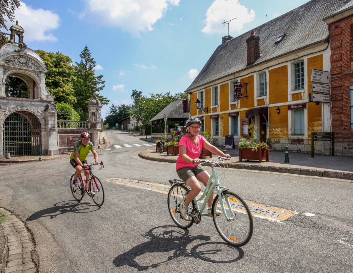
Ce circuit sillonne entre campagne et vallée de la Rançon et offre de belles vues sur le Pont de Brotonne. Profitez-en pour visiter l’Abbaye et faire un détour par la boutique.
The characteristics of the route.

Saint-Wandrille-Rançon (76)
- Distance 15.6 km
- Elevation gain 180 m
- Elevation lost 180 m
- Min. elevation 5 m
- Max. elevation. 120 m
- Duration (depending on pace) 1h30
- Marking Blue
Area : Caudebec-en-caux
Report a problem Add a comment
Circuit Cyclo - Saint-Wandrille-Rançon PDF map
Add your time and share your feelings
Services nearby

La Fontenelle
RIVES-EN-SEINE

Skáli
RIVES-EN-SEINE

Abbaye de Saint Wandrille Rançon, boutique
RIVES-EN-SEINE
La Ferme du bas
RIVES-EN-SEINE
L'Escargot de Saint-Wandrille
RIVES-EN-SEINE


Follow us on
the digital trails
the digital trails


![]()
Infos & contacts
Caux Seine Normandie Tourist Office
Abbaye du Valasse 76210 Gruchet-le-Valasse
+33(0)2.32.70.46.32
Website
send mail


OK
Annuler