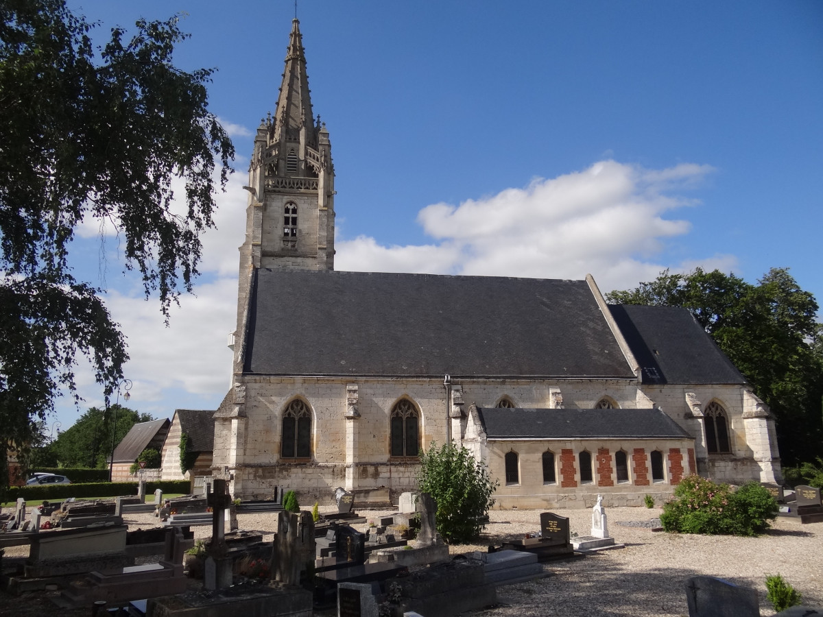
Heritage circuit of Saint-Maurice d'Ételan
Add to my favorites


À pieds ou à vélo, découvrez l'histoire de Saint-Maurice d'Ételan !
Découvrez le riche paysage de la vallée de la Seine avec ces marais, ces belles demeures et authentiques chaumières.
The characteristics of the route.

Saint-Maurice-d'Ételan (76)
- Distance 5.96 km
- Elevation gain 23 m
- Elevation lost 23 m
- Min. elevation 3 m
- Max. elevation. 28 m
- Duration (depending on pace) 2h
A noter à proximité : Le château d’Ételan
Bâti en brique et pierre à partir de la fin du XVème siècle, le château d’Ételan est premier château Renaissance construit en France.
Dominant la Seine, il a vu passer d’illustres personnages de l’Histoire de France comme Catherine de Médicis ou encore le philosophe Voltaire.
Magnifique chapelle datant du XVIème siècle avec ses vitraux, fresques et statues polychromes.
Ouvert à la visite de juin à septembre.
Area : Lillebonne
Report a problem Add a comment
Add your time and share your feelings
Services nearby

Aire de stationnement et de service de Norville
NORVILLE

Le Sophie's
NORVILLE

Le Sophie's
NORVILLE

Le Petit Gîte d'Angélique
NORVILLE

L'Anthonat
PORT-JEROME-SUR-SEINE
OK
Annuler


