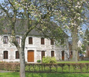
Le Val de l'Abbesse
Add to my favorites


Aux abords de ce circuit, vous pourrez voir la belle chapelle Sainte Honorine. Selon la légende, un soldat romain voulait épouser une jeune chrétienne du nom d'Honorine, mais celle-ci aurait voulu rester fidèle à sa foi. Honorine fut donc égorgée et jetée en Seine... Poursuivez votre chemin vers la sortie de la commune : une très jolie vue sur la Vallée de la Seine vous attend.
The characteristics of the route.

Saint-Nicolas-de-la-Taille (76)
- Distance 11.2 km
- Elevation gain 220 m
- Elevation lost 220 m
- Min. elevation 4 m
- Max. elevation. 116 m
- Duration (depending on pace) 3h
- Marking Fuschia
Pompom-76
The 2023/07/02
En savoir plus
Ajouter votre chrono et partager vos sensations
Services nearby

Aire de stationnement et de service de Saint-Nicolas-de-la-Taille
SAINT-NICOLAS-DE-LA-TAILLE

Sévonnerie
SAINT-NICOLAS-DE-LA-TAILLE

Chez Monsieur et Madame FRÉVAL
SAINT-NICOLAS-DE-LA-TAILLE

Aire de stationnement Camping Les Forges
SAINT-ANTOINE-LA-FORET

Camping Les Forges
SAINT-ANTOINE-LA-FORET
OK
Annuler


