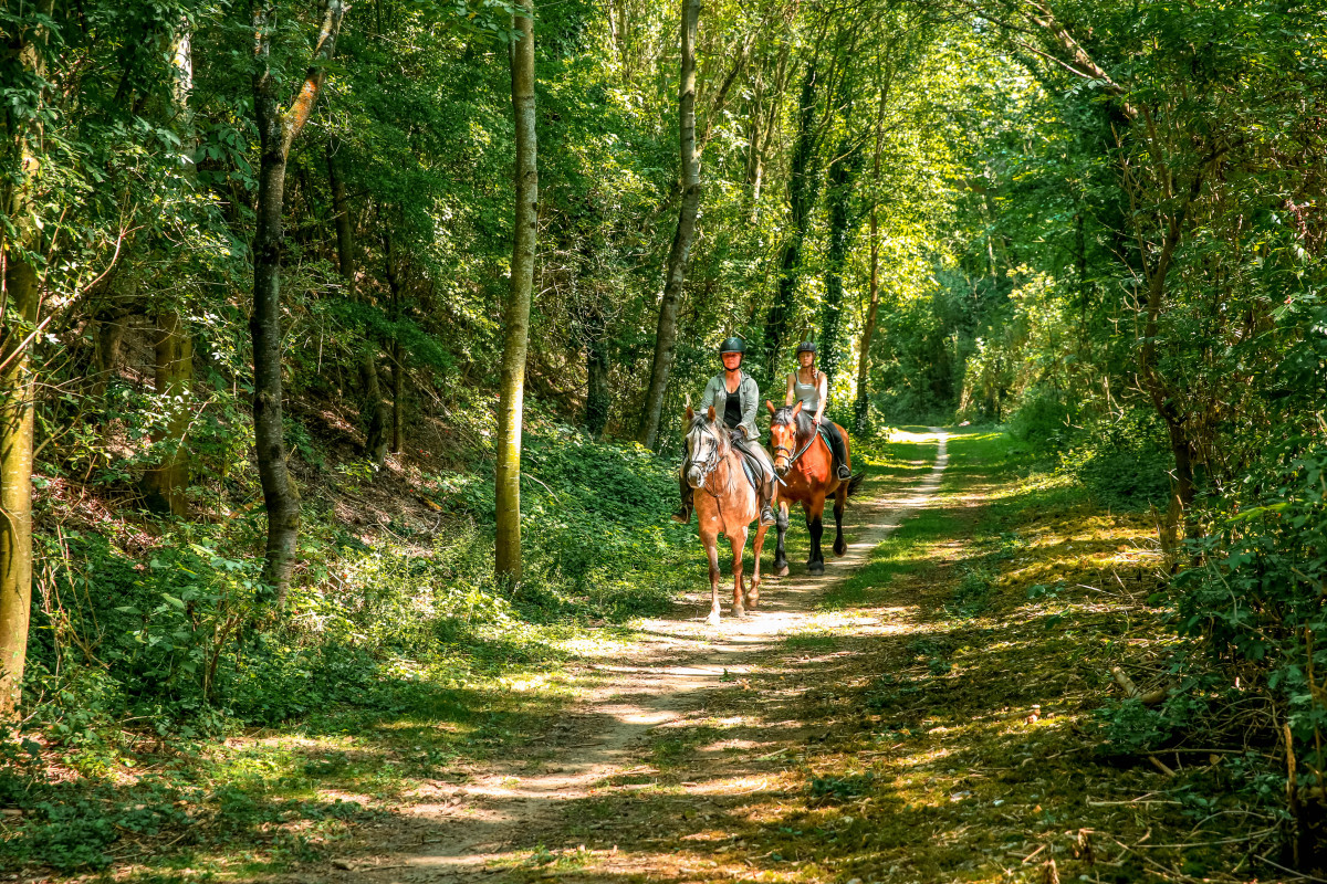
La Chevauchée en Vallée de Seine
Add to my favorites

Between October and March, before leaving for the forest, remember to consult the hunting calendars on the site www.onf.fr

Cet itinéraire bucolique et pittoresque est un vrai dépaysement pour les cavaliers!
Saisissant de simplicité et de beauté, il vous emmènera le long des méandres de la Seine, bordés de forêts millénaires et de prestigieuses abbayes. Une invitation à la découverte d’espaces naturels uniques, au cœur de la Normandie et d’un patrimoine chargé d’Histoire. À travers cette randonnée, laissez-vous séduire par le charme intimiste d’un site exceptionnel.
The characteristics of the route.

Jumièges (76)
- Distance 55.3 km
- Elevation gain 890 m
- Elevation lost 880 m
- Min. elevation 3 m
- Max. elevation. 150 m
- Marking Orange
Area : Caudebec-en-caux
Report a problem 1 comment
Chevauchée en Vallée de Seine - Fiche étape 1 Jumièges-Duclair Chevauchée en Vallée de Seine - Fiche étape 2 Ste Marguerite-Maulévrier Chevauchée en Vallée de Seine - Fiche étape 3 Maulévrier-Abbaye Valasse règlement Bacs à cheval PDF map
Add your time and share your feelings
Services nearby

Chez Mme Allombert
HEURTEAUVILLE

Relais de la Charreterie
HEURTEAUVILLE

Aire de stationnement et de service La Palmeraie
HEURTEAUVILLE

La Grange Dimière
HEURTEAUVILLE

Clos des Citots
HEURTEAUVILLE
OK
Annuler


